The best travel hiking agency in Europe
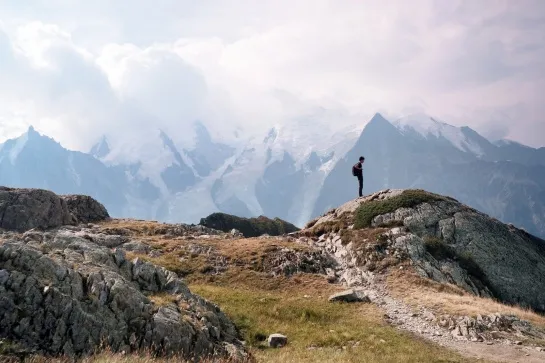
Hike the Tour du Mont Blanc
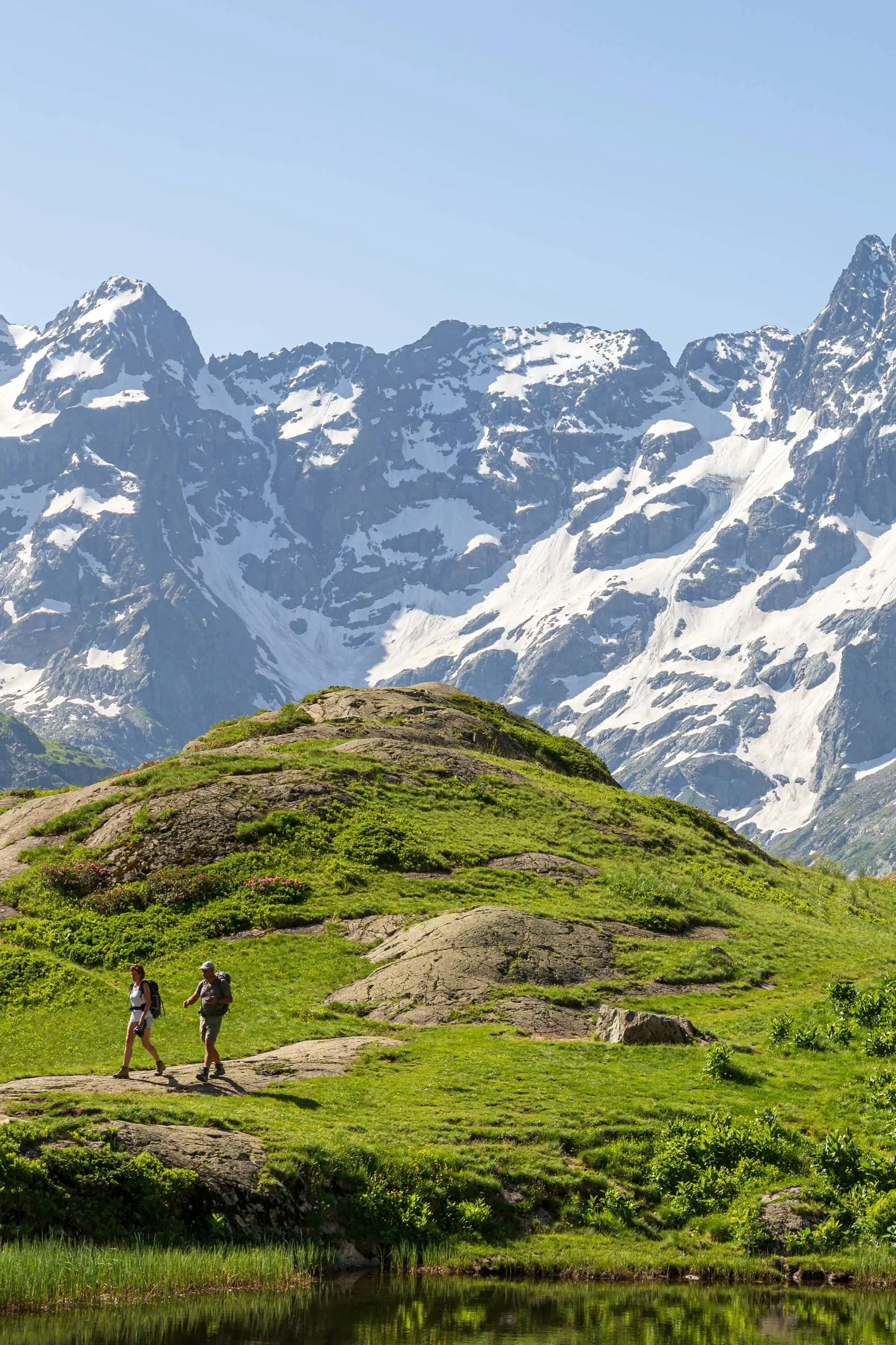
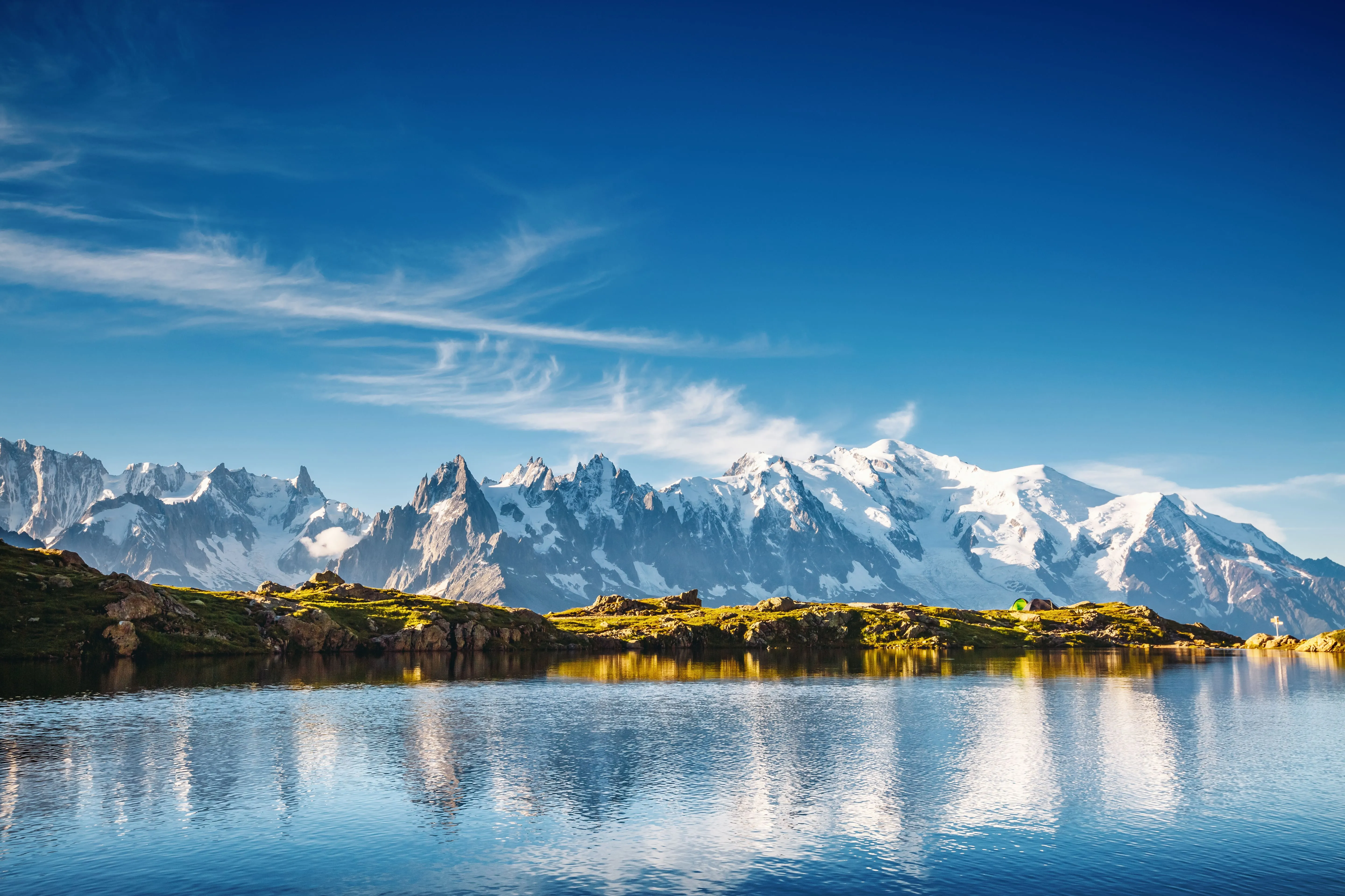
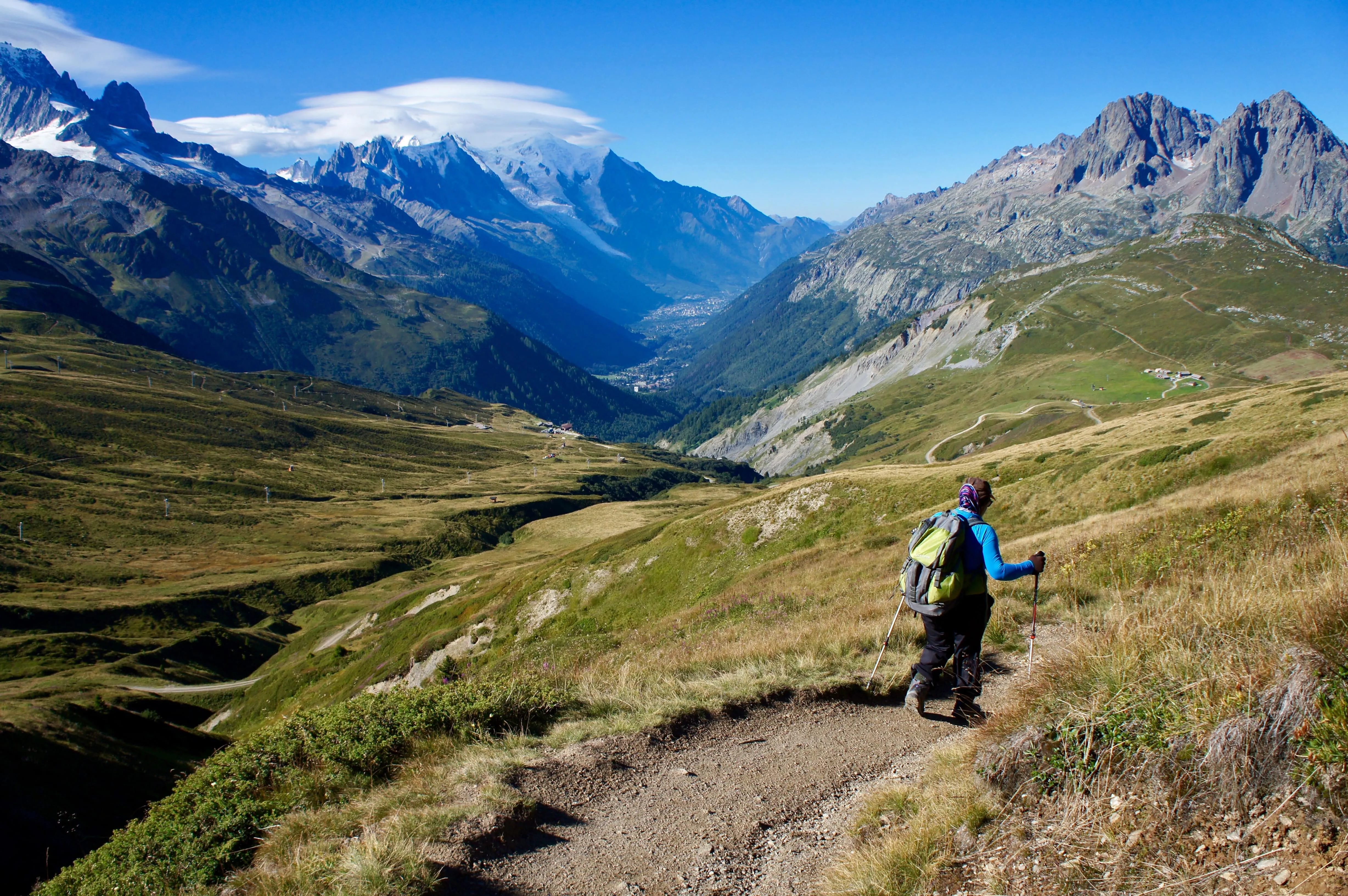
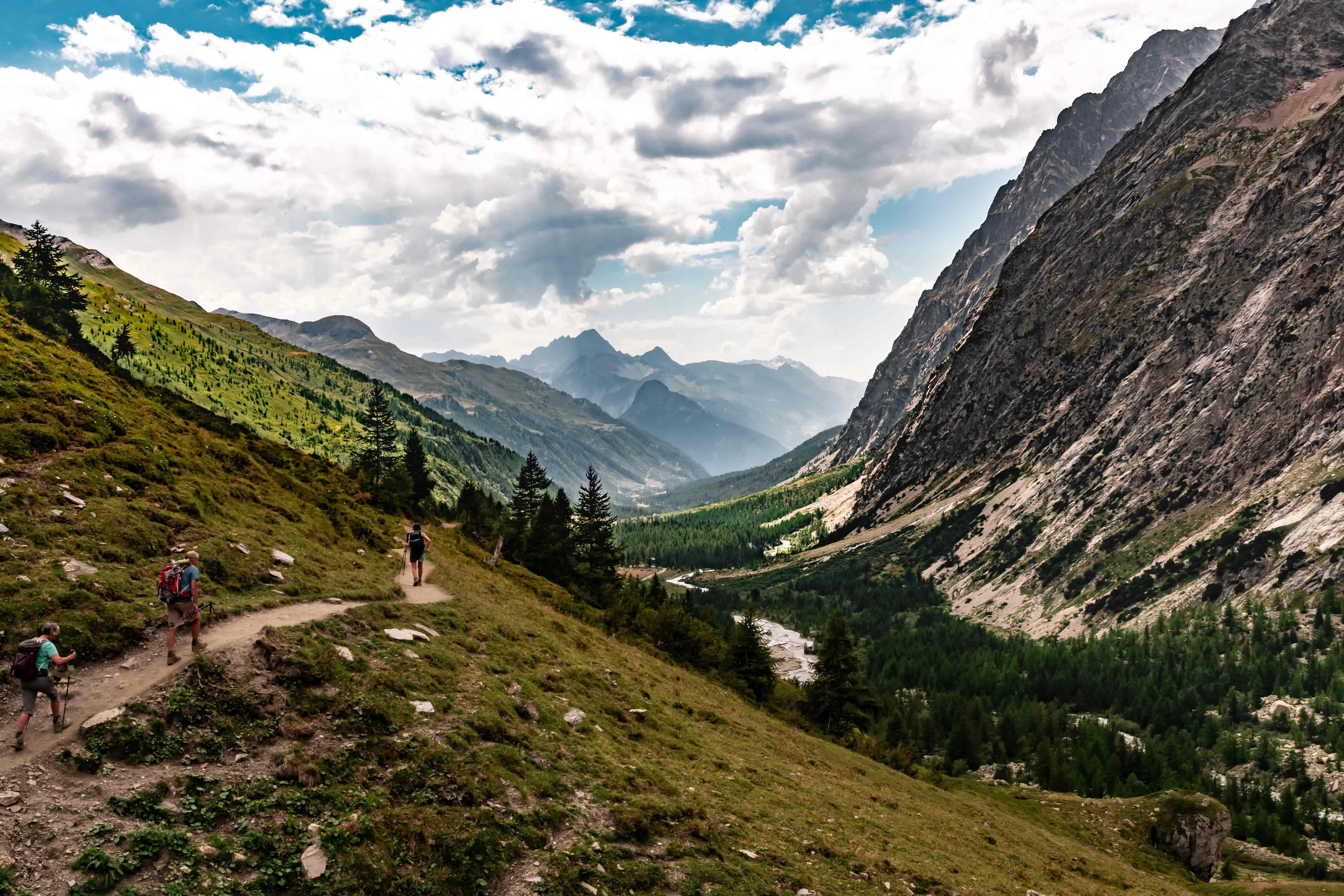
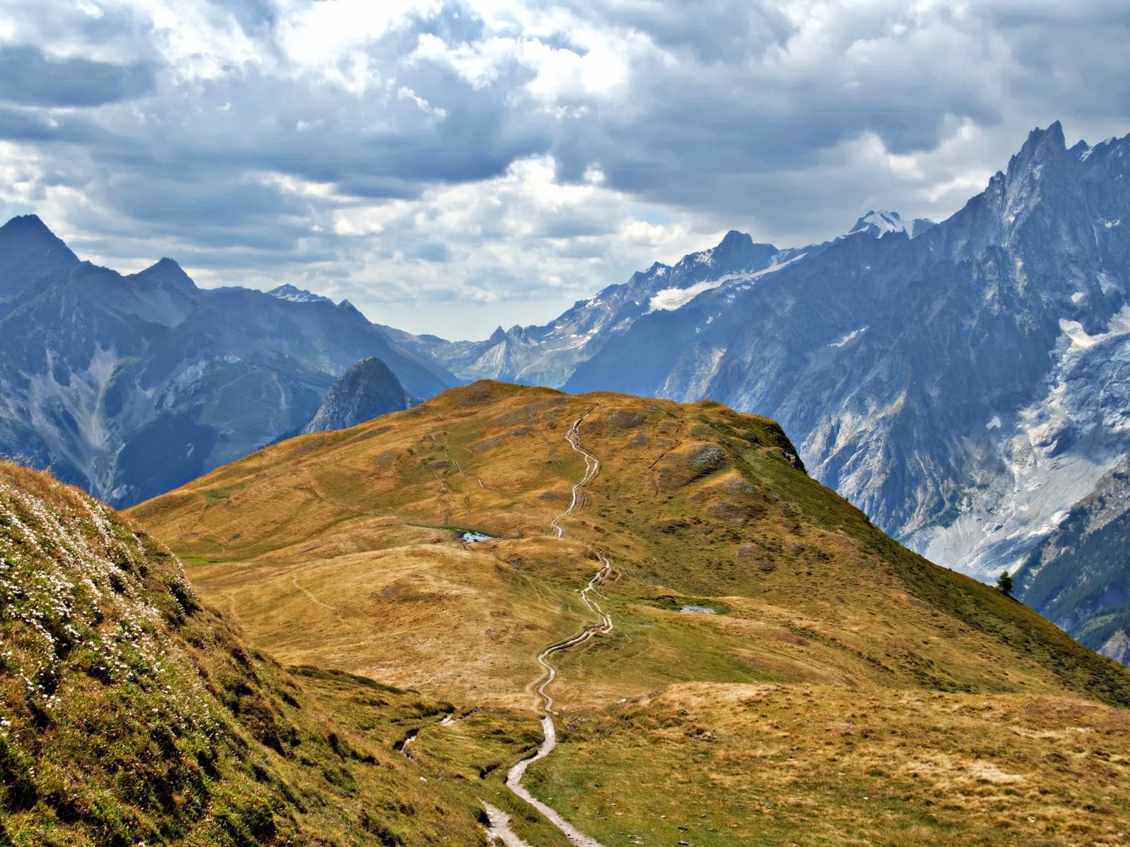
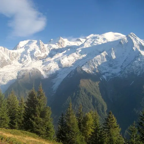
The Tour du Mont Blanc is one of Europe’s most iconic long-distance hiking routes. Spanning roughly 170 kilometres, it circles the Mont Blanc massif and crosses three countries: France, Italy, and Switzerland. Over the course of about ten days, hikers experience a variety of landscapes, from high mountain passes to alpine meadows and traditional villages. Known for its accessibility to well-prepared trekkers, the route combines natural beauty with cultural encounters, making it a classic choice for those looking to explore the Alps on foot.
Our hiking adventures around the tour du Mont Blanc

Key Facts and Characteristics
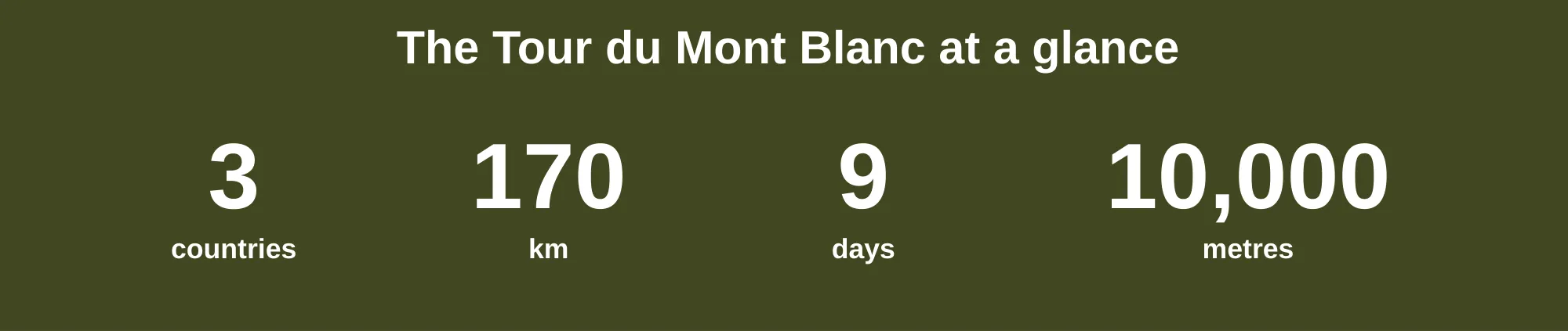
Total distance: Around 170 km (105 miles)
Total ascent: About 10,000 metres (32,800 ft)
Average duration: 7 to 11 days, depending on pace and itinerary
Countries crossed: France, Italy, Switzerland
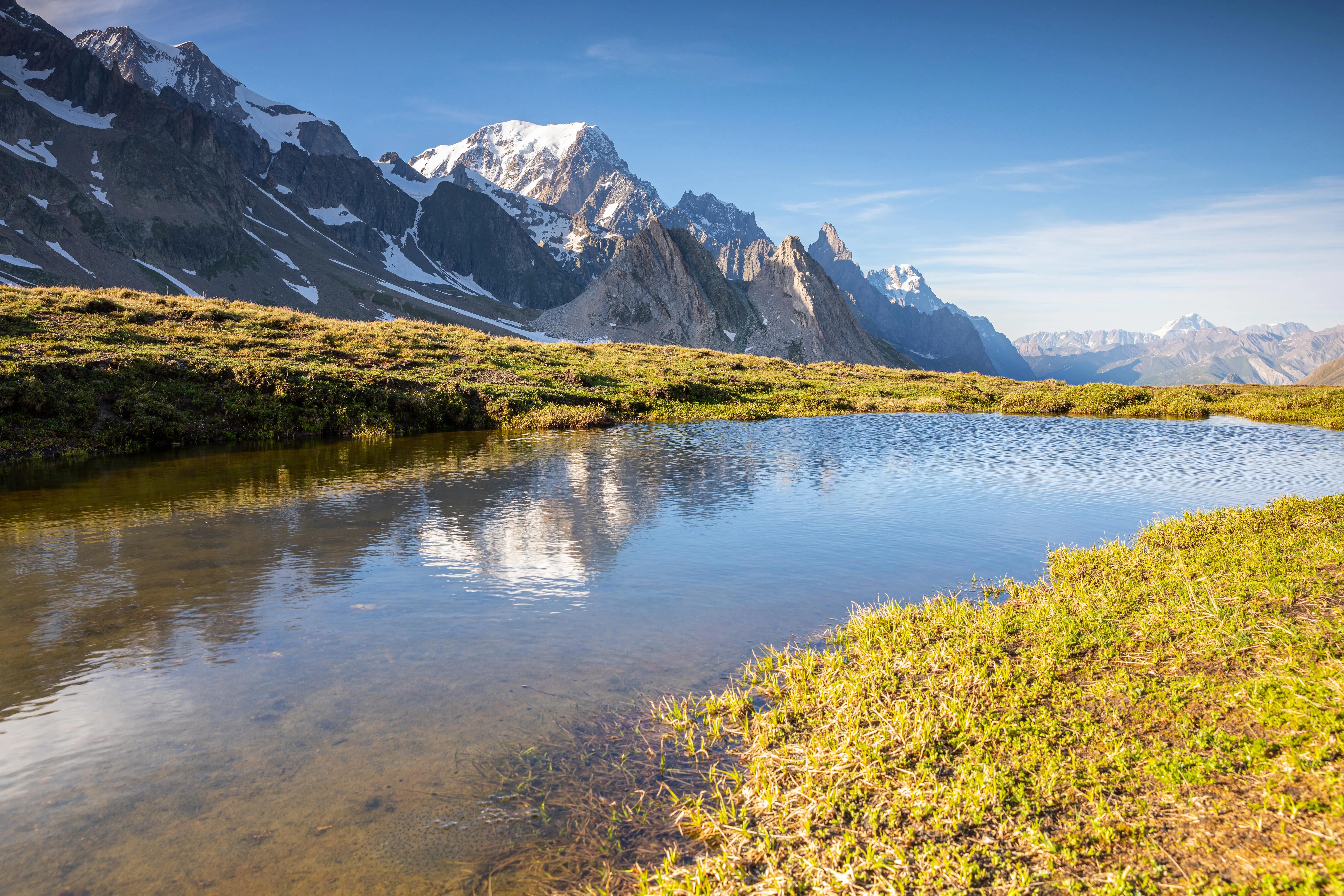
Highest point: Col des Fours in France (2,665 m / 8,743 ft) or Fenêtre d’Arpette in Switzerland (2,665 m / 8,743 ft) depending on the chosen route
Difficulty level: Moderate to challenging – suitable for fit and experienced hikers
Best season: Late June to early September, when most mountain passes are free of snow
Accommodation: Mountain refuges, gîtes, small hotels, and campsites along the way
Itinerary for a Tour du Mont Blanc within 9 days
The Tour du Mont Blanc can be walked in either a clockwise or counter-clockwise direction, though most hikers choose counter-clockwise for a more gradual start. The full circuit is typically divided into 10 to 12 stages, each ending in a village or mountain refuge.
Day 1 – Les Praz de Chamonix to Le Tour
Day 2 – Le Tour to Trient (Switzerland)
Day 3 – Trient to Champex
Day 4 – Champex to La Fouly
Day 5 – La Fouly to Italian Val Ferret (via Grand Col Ferret)
Day 6 – Val Ferret to Courmayeur
Day 7 – Courmayeur back toward France
Day 8 – Col des Fours to Col du Bonhomme to Les Contamines-Montjoie
Day 9 – Les Contamines-Montjoie to Les Houches (via Col du Tricot or Chalet de Bionnassay)
Planning to hike the Tour du Mont Blanc but unsure where you stand? Find all the info you need on our dedicated page.
Day 1 : Chamonix - Lac Blanc
Starting point : Chamonix cable car l Distance : 13 km l Hiking time : 5h30 l Ascent : 450 m
Day 2 : Col de Balme
Starting point : Village of Le Tour l Distance : 13 km l Hiking time : 5h l Ascent : 840 m
Day 3 : Fenêtre d'Arpette
Starting point : Trient l Distance : 13 km l Hiking time : 6h30 l Ascent : 1,300 m
Day 4 : Swiss Val Ferret
Starting point : Champex l Distance : 15 km l Hiking time : 5h l Ascent : 600 m
Day 5 : Grand Col Ferret
Starting point : La Fouly l Distance : 12 km l Hiking time : 5h l Ascent : 840 m
Day 6 : Mont de la Saxe
Starting point : Italian Val Ferret l Distance : 14 km l Hiking time : 5h30 l Ascent : 650 m
Day 7 : Col de la Seigne
Starting point : Monte Bianco Refuge l Distance : 14 km l Hiking time : 6h30 l Ascent : 850 m
Day 8 : Col des Fours du Bonhomme
Starting point : Mottets refuge l Distance : 15 km l Hiking time : 6h30 l Ascent : 850 m
Day 9 : Col du Tricot
Starting point : Les Contamines-Montjoie l Distance : 16 km l Hiking time : 6h30 l Ascent : 1,100 m
Tips for hiking the Tour du Mont Blanc
Train before you go – Even if you’re used to walking, this trek involves several days of sustained ascents and descents. Build up your endurance with regular hikes and leg-strength exercises.
Check the weather daily – Mountain conditions change rapidly. Always carry a waterproof layer and warm clothing, even in summer.
Bring the right gear – Sturdy, broken-in hiking boots, trekking poles, a comfortable backpack, and a good map or GPS are essentials.
Stay hydrated and fuelled – Carry at least 1.5 L of water per day and snacks for between meals.
Respect local culture and nature – Greet people on the trail, take rubbish with you, and avoid disturbing wildlife.
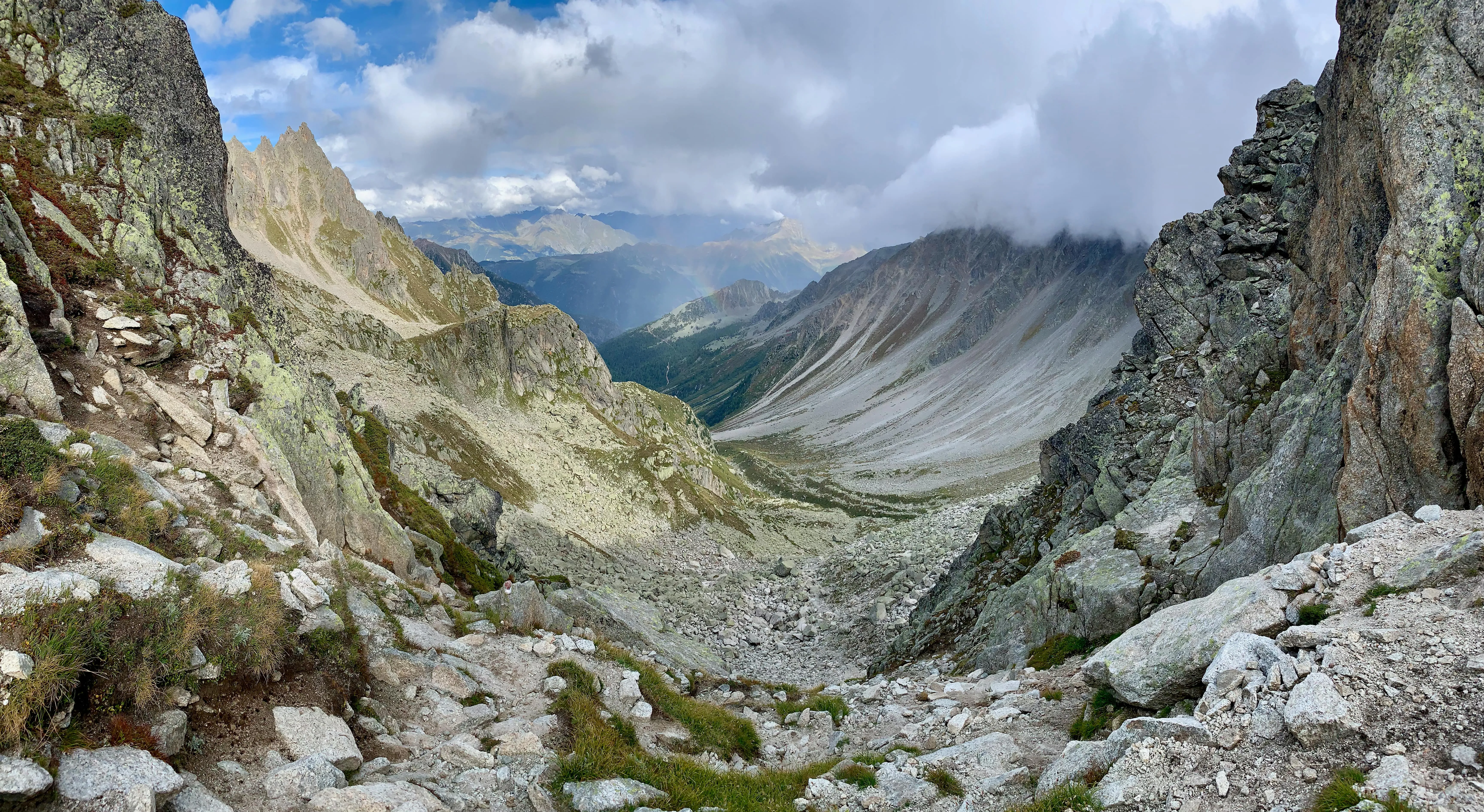
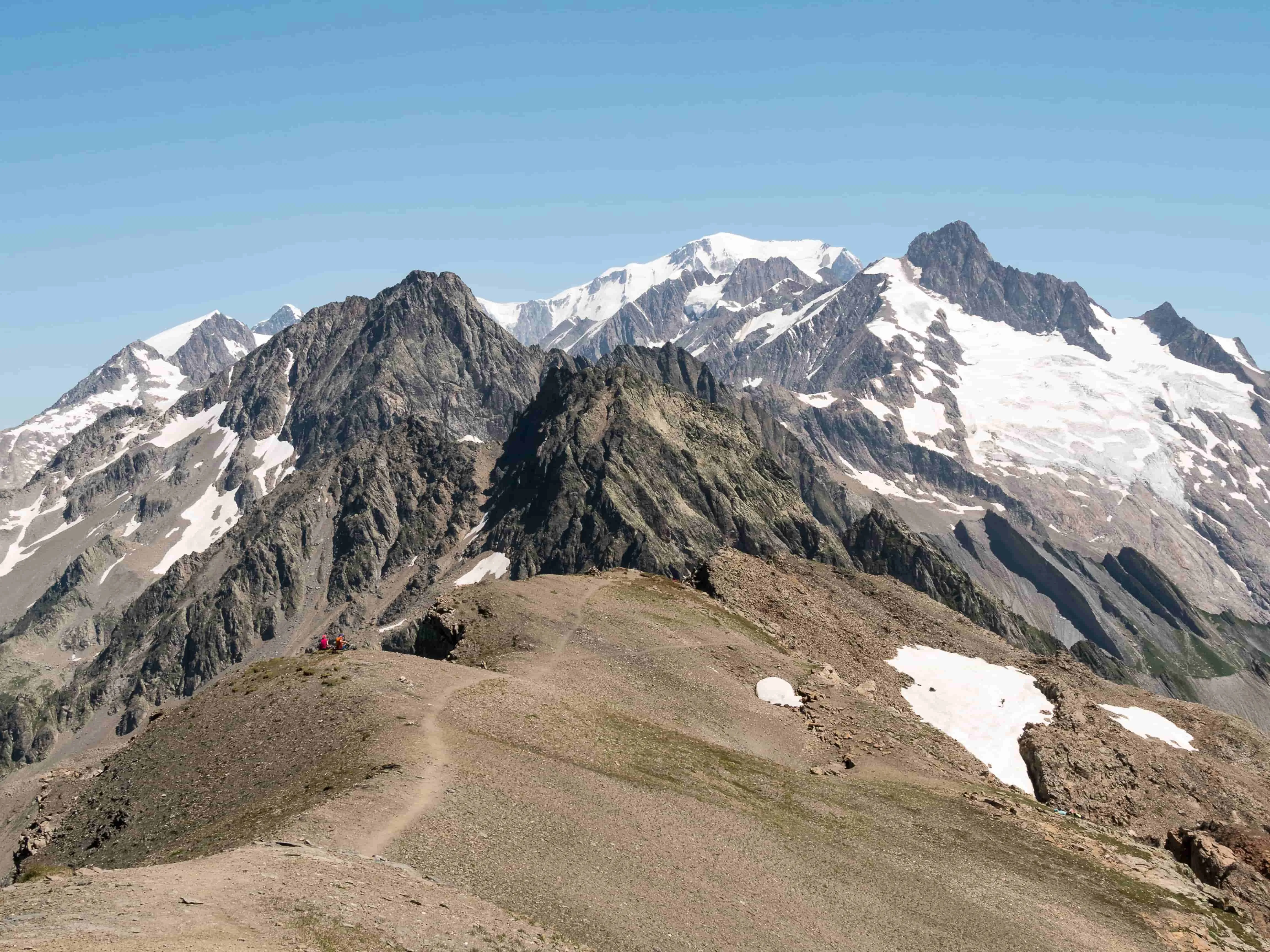
The hardest stage of the Tour du mont Blanc hike is the Col des Fours (France) or the Fenêtre d'Arpette that lies at 2,665 m (Switzerland), depending on the chosen variant.
The most physically demanding is the the Col des Fours due its steepness, especially if you're coming from Les Chapieux.
The most difficult and technical is the Fenêtre d'Arpette because it's very rocky and steep, as well as it can be exposed to bad weather.
No, you will not see the Mont Blanc throughout your entire hike as other peaks of the Mont Blanc massif obscure it on some stages.
When is the best time of year to hike the tour du Mont Blanc ?
June : the trails are usually quieter, the temperatures aren't too high either, it's a great time to go hiking. It can be still snowy on some high passes.
July / August : there's an increasing number of hikers as the summer goes on. The temperatures are warmer but can still be unpredictable.
September : Early in the month, the weather is still good. Cooler temperatures start settling in, especially in altitude. Plus, the trails are quieter as many tourists leave after summer holidays.
Our adventures around the Mont Blanc
Frequently asked questions about the TMB
Booking
You should plan your Tour du Mont Blanc hike as early as you can.
The best would be to book at least 6-9 months in advance, especially if you plan to hike betwwen June and September. Mountain refuges and popular accommodations fill up quickly.
Booking early also ensures baggage transfers, airport shuttles or anything extra are available.
To get to the tour du Mont Blanc, you can fly into Geneva airport, which is pretty much 90 km away -1h way.
These are nearest airports to Chamonix :
Geneva airport : 1h15 to Chamonix
Lyon airport : 2h30 to Chamonix
Milan airport : 3h30 to Chamonix
You can hop on an airport transfer :
Shared shuttle transfers (companies like AlpyBus, Mountain Drop-offs, Chamonix Valley Transfers). Around €35–50 one way, door-to-door.
- Private transfers (faster, but more expensive).
From Paris, you can take a TGV to Saint-Gervais-les-Bains (4h30), then a small mountain train (TER / Mont Blanc Express) to Les Houches or Chamonix.
Camping
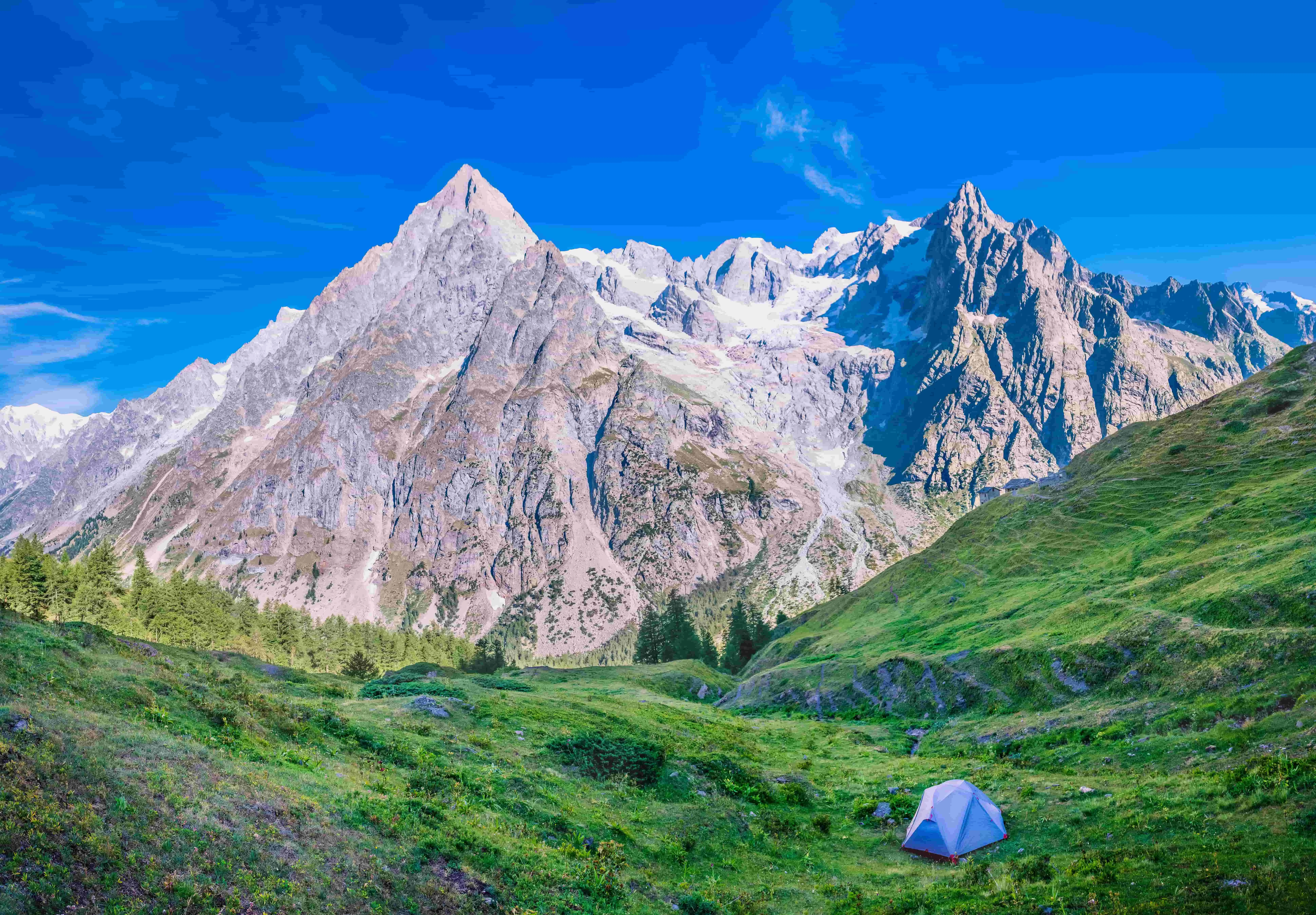
Yes it is possible to camp along the tour du Mont Blanc.
It is regulated differently in each country since the trail crosses France, Italy and Switzerland.
France: bivouac allowed (sunset → sunrise) + official campsites in villages.
Italy: wild camping not allowed in the protected area → best to use campgrounds (Courmayeur, Val Ferret).
Switzerland: wild camping mostly forbidden except high up → campsites at Champex, Trient, etc.
Transport
Yes, it’s absolutely possible to use public transport. There are several ways to shorten stages: you can take cable cars and chairlifts up or down, hop on buses along the valley roads, and even use small seasonal shuttles during peak season.
We recommend 8 to 10 kg maximum for the whole trip.
It is possible to leave a bigger backpack at the hotel you'll be staying in the first night (as long as you plan on staying in the same one the last night before you leave).
Clothing :
waterproof jacket & pants
fleece or light down jacket
base layers : long-sleeve tops and moisture-wicking t-shirts
hiking pants/ shorts, 2-3 pairs of socks
gloves, sun hat + warm hat, buff
Footwear :
hiking boots
sandals for evenings
Gear :
backpack
trekking poles
water bootles (2L)
sunglasses & sunscreen
headlamp
map/ gps
Sleeping
sleeping bag liner
quick-dry towel & toiletries
Food & snacks
energy bars/ nuts / dried fruit
Safety
first aid kit
ID & insurance card
phone charger / power bank
cash / credit card
rain cover
TIPS :
test your gear : broken-in boots and familiar backpack save blisters and fatigue
pack light
layering is key : weather changes fast in the Alps
Money & budget
Yes there are ATMs can be found in Chamonix, Les Houches, Les Contamines-Montjoie, Courmayeur, and La Fouly.
We do not recommend taking cash out of the ATM when arriving at Geneva Airport - you will be issued Swiss Francs, not euros.
No the majority of mountain refuges do not accept credit or debit cards. You will need to take cash to pay any snacks or meals you get from these mountain huts.
Event spotlight : the UTMB - the Ultra Trail Mont Blanc
The UTMB is one of the world's most famous trail running events, held annually in late August or early September. The race covers roughly the same route as the tour du Mont Blanc hike, circling the massif over 170 km with nearly 10,000 metres of total elevation gain.
This race tests speed, stamina and mountain skills. It attracts runners and outdoor enthusiasts to experience its dramatic terrain.
For non-competitors, the UTMB week is a lively festival with events, gear expos, and opportunities to meet other mountain enthusiasts.

Over 40 years of expertise and know-how

A small, locally based agency

No booking fees

Over 300 trips in Europe

Authentic trips
